Chesapeake Bay Maps and Charts
Online Chesapeake Bay Maps
BayDreaming’s Map of the Chesapeake Bay Region. Shows locations of waterfront towns and cities, with links to additional info.
Visit NOAA’s interactive nautical chart viewer. Zoom in and the charts covering that area will be identified, and you’ll have the option to view the chart online or download a free pdf version of the chart.
Chart 12280 – This is the big Chesapeake Bay chart that shows everything from the mouth of the Bay at Hampton Roads to the Sassafras River, north of the Chesapeake Bay Bridge.
Online map of boat ramp locations in the Maryland portion of the Chesapeake Bay.
Virginia’s online boating access guide – provided by VA Dept of Game and Inland Fisheries. Lets you search by county or body of water.
Collection of environmental maps from the Chesapeake Bay Program. Includes watershed maps.
Fishing maps from the Maryland Department of Natural Resources. Shows Chesapeake Bay fishing areas.
Traditional Chesapeake Bay Fishing Grounds. All the fishing ground names you’ve probably heard about, plotted out on a Google map.
Chesapeake Bay lighthouses map. Scroll down past the list of individual lights to see their locations plotted on a map.
Looking for a specific town in the Chesapeake Bay region? Check out our destinations page.
Chesapeake Bay Chartbooks
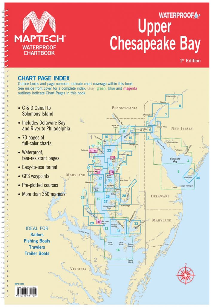
Maptech Upper Chesapeake Bay Waterproof Chartbook
This spiral bound book from Maptech includes 70 pages of waterproof navigation charts, covering the Chesapeake Bay from the C&D Canal to Solomons Island. Also includes information on over 350 marinas. Buy now at Amazon.com
Waterway Guide Chesapeake Bay 2021
The Waterway Guide Chesapeake Bay covers the Chesapeake Bay, Delaware Bar, and Atlantic Coast from Cape May to Norfolk. This popular guide is updated annually and includes navigation information, aerial photography with marked routes, marina listings, anchorage information, and articles about what do see and do ashore. Buy now at Amazon.com


